About Our Civil Sitework Estimating Team & Methodology
We are a specialized B2B pre-construction takeoff firm dedicated exclusively to civil site development, heavy earthmoving, underground utilities, and exterior improvements across the United States.
Why We Specialize Exclusively in Civil & Sitework
Many estimating firms attempt to be a "jack-of-all-trades," claiming to estimate electrical wiring, drywall, plumbing fixtures, and sitework all under one roof. In reality, sitework is completely different from vertical building trades.
In building interiors, quantities are largely fixed: 10 doors are 10 doors, and 50 light fixtures are 50 light fixtures. In civil sitework, however, quantities exist in a continuous, non-linear three-dimensional terrain. Understanding cut/fill requires advanced digital terrain modeling (DTMs), surface-to-surface volume integration, soil mechanics, and heavy machinery production knowledge.
By focusing 100% of our attention on CSI Divisions 31, 32, and 33, we provide the level of deep technical scrutiny necessary to safeguard contractor profit margins.
Our Engineering Methodology
CSI MasterFormat Organization
Every takeoff line item follows Construction Specifications Institute (CSI) standards, ensuring complete alignment with architect and general contractor project manuals.
Surface-to-Surface TIN Modeling
We construct independent Triangulated Irregular Network (TIN) surfaces from existing survey topography and proposed design grades, applying sectional subgrade depth offsets.
Geotechnical Cross-Referencing
Soil boring logs are analyzed for depth to groundwater, rock refusal strata, and plasticity index (PI) to ensure shrink/swell allowances reflect the site's geology.
Independent Senior Quality Audit
Before any deliverable is handed to a contractor, a senior civil engineer audits the model for contour boundary anomalies, inverted pipe slopes, and scale errors.
Industry Software & Workflow Standards
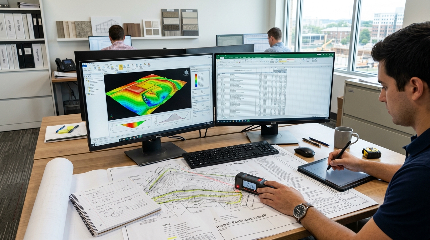
Our estimating workflows are fully compatible with industry-standard digital earthwork and civil platforms, including AGTEK Earthwork 4D, Trimble Business Center, AutoCAD Civil 3D, and Bluebeam Revu. All quantities are formatted into unlocked, formula-linked Microsoft Excel workbooks that plug straight into your contractor bidding sheets.
Our Core Engineering Ethos: Field-Verifiable Quantities
In competitive commercial bidding, the difference between winning a profitable contract and winning a catastrophic financial loss comes down to estimating precision. Our company was founded on a single non-negotiable premise: every number on a takeoff sheet must be verifiable in the field.
Too many generic takeoff providers rely on automated algorithmic button-clicks that ignore drawing notes, overlook retaining wall subgrades, or blindly assume a flat existing terrain. We treat every civil plan set as an integrated structural ecosystem. We read the general notes, inspect the boring logs, scrutinize the detail sheets, and trace the flow lines to ensure the numbers you take into bid day represent reality.
Advanced Software Stack & Modeling Standards
We do not rely on entry-level takeoff apps built for simple carpet or drywall measuring. Our preconstruction workstations operate high-end civil infrastructure software:
AutoCAD Civil 3D & Corridor Modeling
We import raw survey point clouds, contour polylines, and LandXML surfaces to build composite digital terrain models (DTMs). Breaklines are enforced along curb flowlines, retaining wall tops/toes, and ditch inverts to prevent surface bridging errors.
AGTEK Gradework 4D Volumetrics
Specialized surface-to-surface earthwork engines generate visual color-shaded cut/fill depth heatmaps. We simulate soil displacement, strata unsoiling, subgrade section offsets, and mass haul balance paths to optimize on-site equipment movements.
Trimble Business Center (TBC)
For heavy highway and earthmoving contractors running GPS machine control, we export clean, watertight LandXML surfaces and 3D linework ready for in-cab guidance systems (Caterpillar AccuGrade, Trimble Earthworks, and Topcon 3D-MC).
Bluebeam Revu Engineering Suites
Multi-layer vector calibration allows us to measure linear utilities, demolition perimeters, and paving areas with millimeter precision. Markups are color-coded by trade scope so your project managers can verify takeoffs at a glance.
Geographic Knowledge: Adapting to US Regional Soil Conditions
A cubic yard of earth in Houston, Texas behaves entirely differently from a cubic yard in Atlanta, Georgia or Denver, Colorado. Our estimating desk integrates regional geological realities into every volume calculation:
- Texas & Southwest (High Plasticity Clays): We account for high shrink-swell potentials, moisture conditioning, lime/cement stabilization, and shallow limestone ripping strata.
- Southeast & Florida (Marine Sands & High Water Tables): We incorporate trench dewatering wellpoints, trench box payline widths, and sandy soil sloughing slope angles.
- Midwest & Northeast (Glacial Tills & Deep Frost): We stratify deep trench excavation to satisfy 48" to 60" frost protection depth mandates and evaluate seasonal moisture sensitivity.
- West Coast & Mountain Regions (Massive Terracing & Rock): We calculate hillside keyway benching volumes, seismic slope stabilization, and blast-rock excavation allowances from geotechnical boring logs.
Standards Alignment & Preconstruction Compliance
Our takeoff methodologies strictly adhere to established industry frameworks, including the American Society of Civil Engineers (ASCE), the Association for the Advancement of Cost Engineering (AACE International), and the Construction Specifications Institute (CSI MasterFormat). We maintain standardized quality checkpoints that ensure every calculation is repeatable, transparent, and auditable.
Our Five Core Commitments to US Contractors
Contractor Trust & E-E-A-T Transparency
We take pride in transparent commercial practices. We do not manufacture artificial claims, fabricated review ratings, or unsubstantiated guarantees. Our value is demonstrated directly through the rigor of our deliverables, sample reports, and transparent formulas.
Put Our Civil Estimators on Your Next Bid
Send us your drawings. We will review your drawing set and provide a formal proposal with a guaranteed turnaround timeframe.